Cognitive Planetary Intelligence
See the Earth.
Understand it.
Act on it.
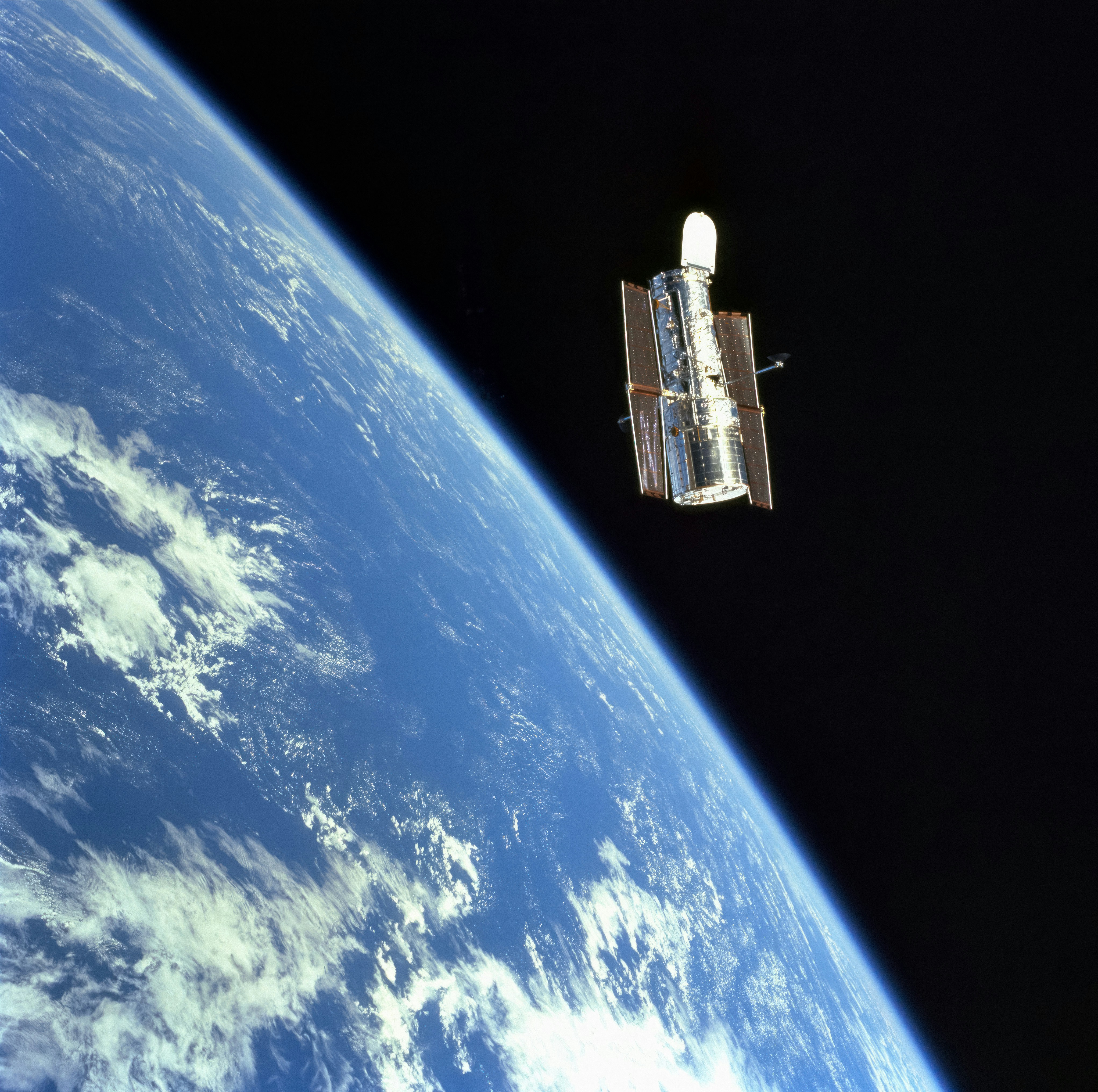
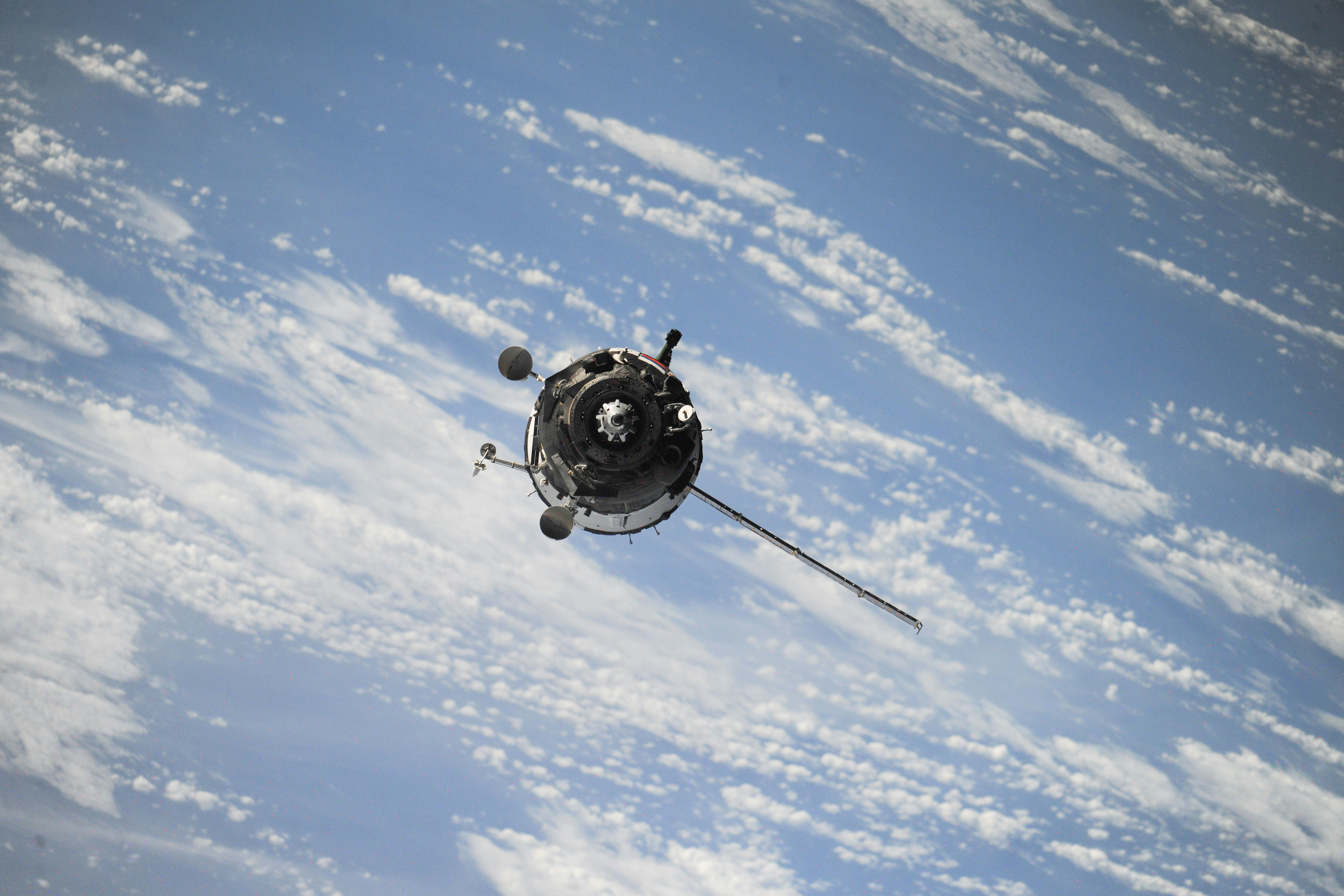
Fractalysium builds satellite intelligence systems for European government agencies, civil defence services, and critical infrastructure operators. Built on Copernicus open data. Governed by EU law.
Fractalysium fuses satellite sensing, advanced AI, and geospatial science into a single operational platform for European institutions. We turn raw Earth observation data into actionable intelligence for the people who need to make decisions that matter.
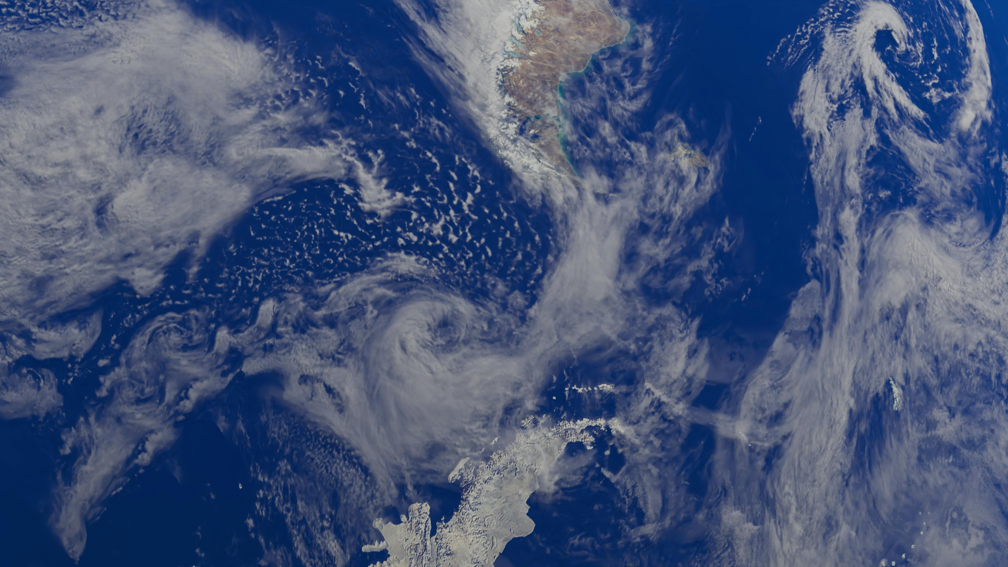
Spectral band analysis.
Real terrain data.
Five domains.
One platform.
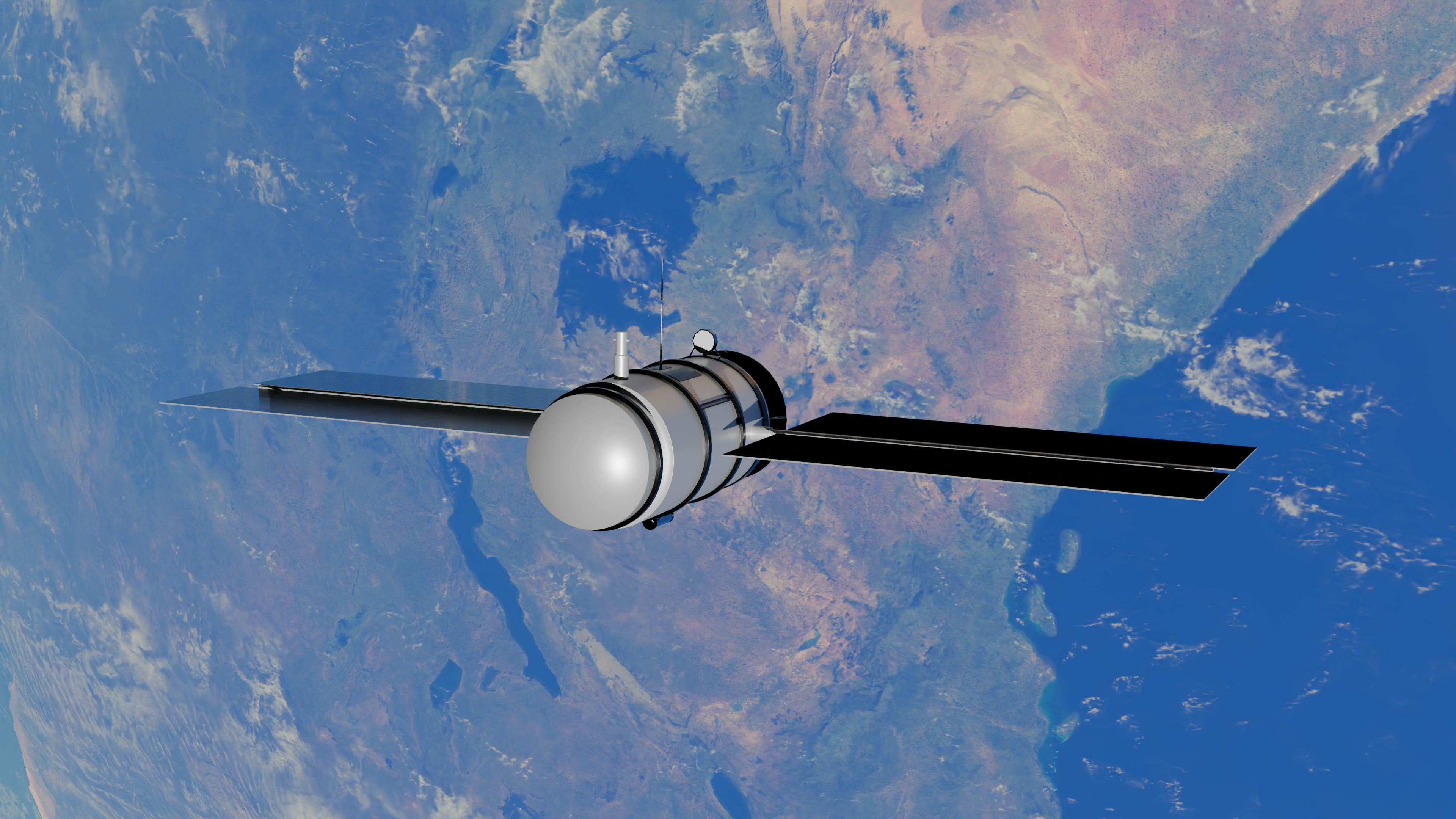
 Meteosat · Sentinel-3 · ERA5
We detect wildfires, floods, and industrial accidents from satellite data in under 60 seconds. Our cognitive forecasting engine tells responders where to position resources before an incident escalates. Earlier detection means faster response and better outcomes.
Meteosat · Sentinel-3 · ERA5Disaster Early Warning
We detect wildfires, floods, and industrial accidents from satellite data in under 60 seconds. Our cognitive forecasting engine tells responders where to position resources before an incident escalates. Earlier detection means faster response and better outcomes.
Not just detection. Understanding.
Our platform does not stop at classifying what it sees. It reasons about cause and effect, remembers how a location has changed over a decade, and tells you honestly when its confidence is limited. That is the difference between a sensor and an intelligence system.
See the research →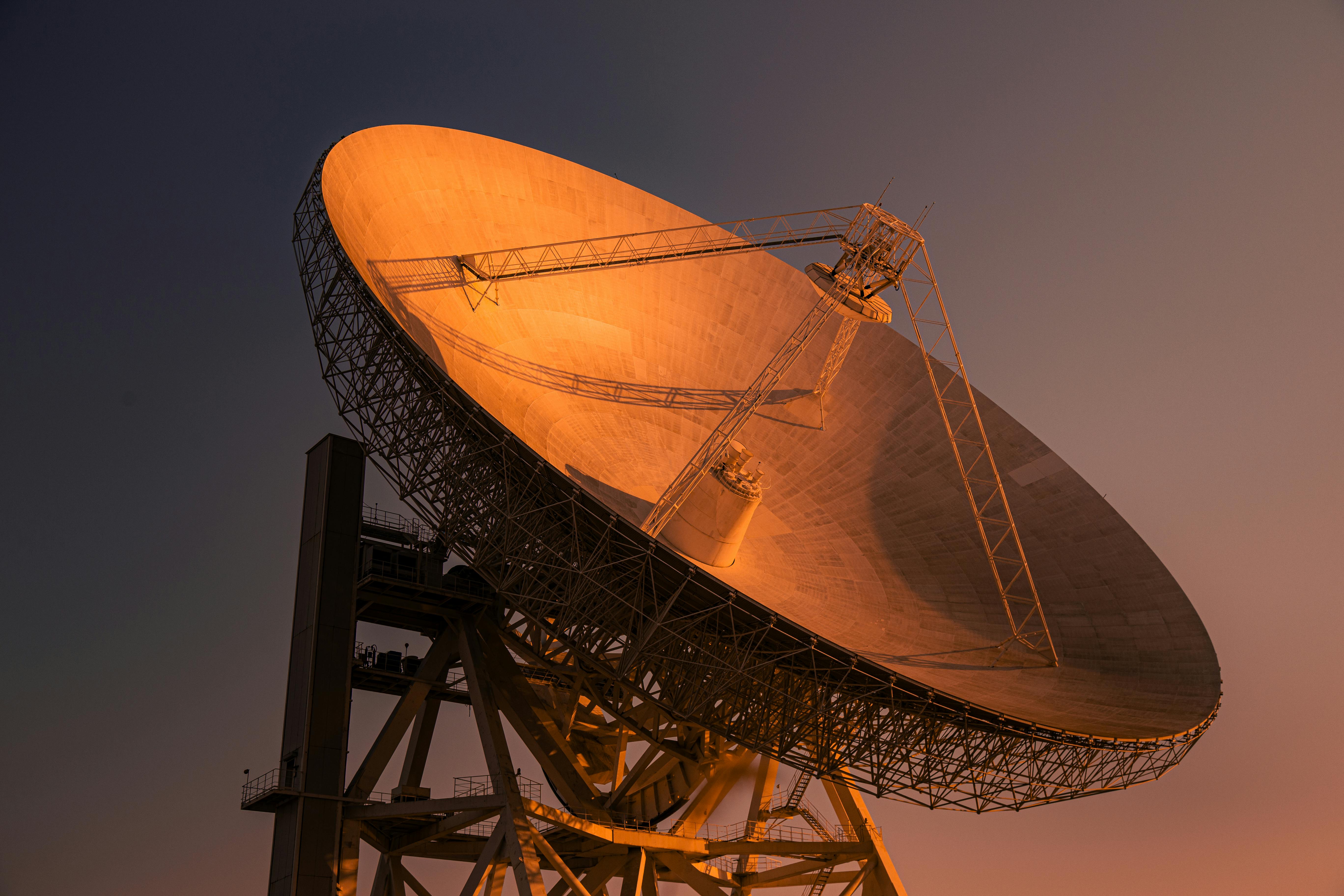
Built on open satellite data. Governed by EU law.
Every analysis we produce is grounded in Copernicus satellite data, provided free under EU treaty law. No proprietary data dependencies. No foreign jurisdiction exposure. The legal framework governing our sensing layer is the same one governing the institutions we serve.
Our platform →Latest from Fractalysium

Fractalysium Completes EU AI Act High Risk System Conformity Assessment
Fractalysium Maritime Domain Awareness Enters Operational Trial
Wildfire Detection System Achieves Under 60 Second Alert Latency
Why Causal Reasoning Is the Missing Layer in Earth Observation AI
The Copernicus Advantage: Why Open Satellite Data Changes Everything
Building for the EU AI Act From Day One
Fractalysium Featured in European Space Policy Report 2026
European Space Policy Institute
Interview: Building Sovereign AI for European Defence
Defence Technology International
Fractalysium CTO on AI Latency in Disaster Response Systems
GeoIntelligence Weekly
Sentinel-1 SAR Dark Vessel Detection — Mediterranean Exercise
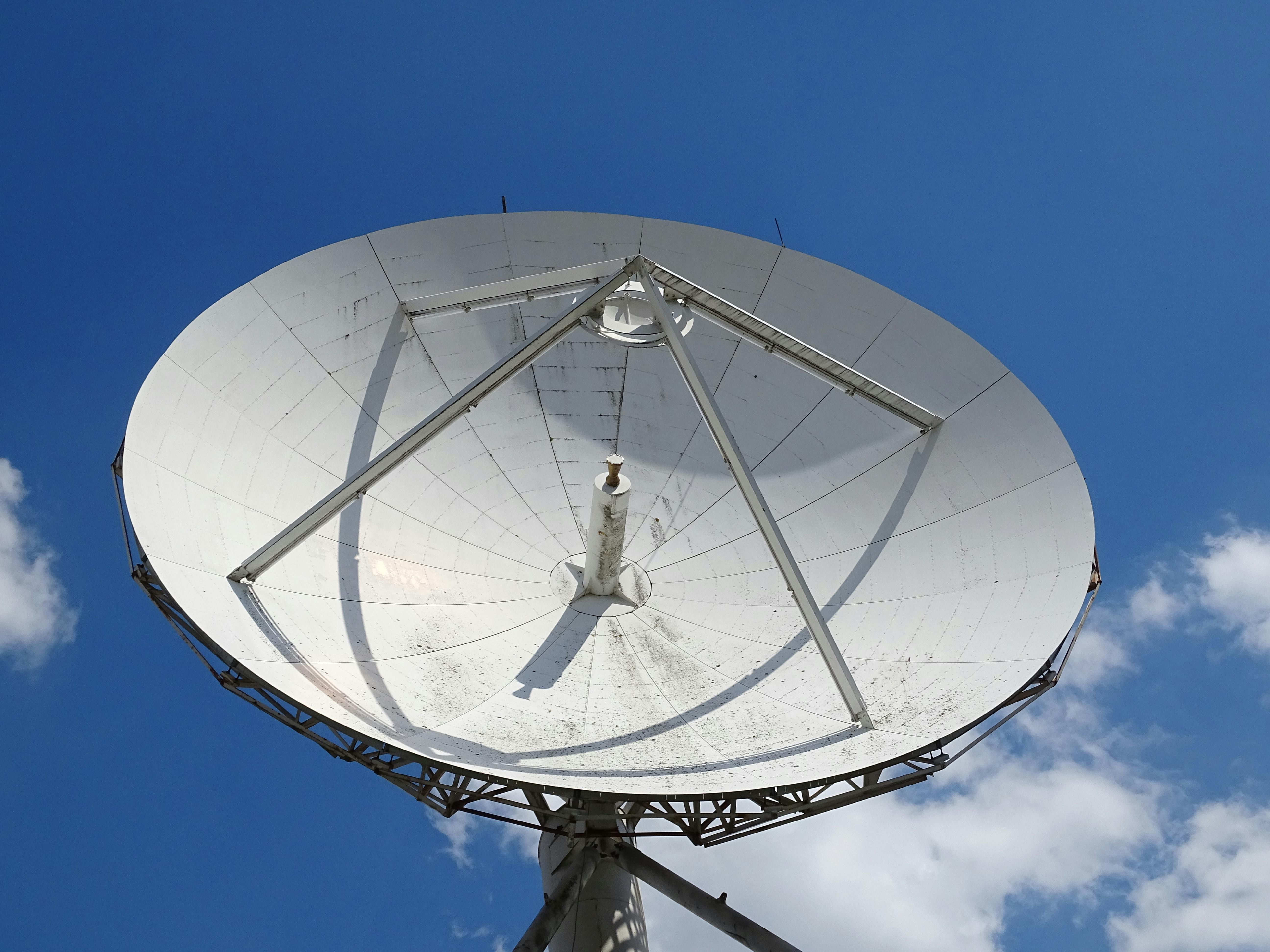
Copernicus Ground Station — Data Receiving Operations
Earth Surface Thermal Analysis — Wildfire Season 2025
8 minPlatform Demo: Wildfire Cognitive Alert in Real Time
5 minExplainer: How Sentinel-1 SAR Detects Dark Vessels
12 min